ICG: Semantic Drone Dataset

https://www.tugraz.at/index.php?id=22387

Overview

The Semantic Drone Dataset focuses on semantic understanding of urban scenes for increasing the safety of autonomous drone flight and landing procedures.

The imagery depicts more than 20 houses from bird's eye view acquired at an altitude of 5 to 30 meters above ground. A high resolution camera was used to acquire images at a size of 6000x4000px (24Mpx).

The training set contains 400 publicly available images and the test set is made up of 200 private images.

Associated Paper or Article

No associated paper or article has been found in regard to this dataset.

Annotations

Person Detection: For the task of person detection the dataset contains bounding box annotations of the training and test set.

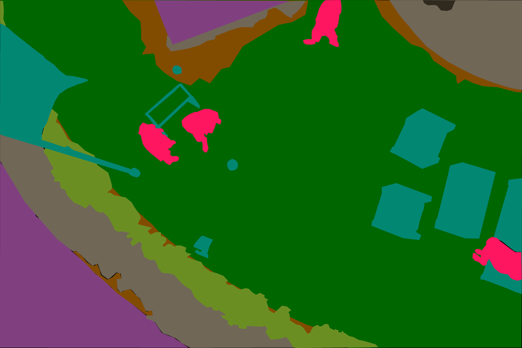
Semantic Segmentation: We prepared pixel-accurate annotation for the same training and test set. The complexity of the dataset is limited to 20 classes as listed in the following table:

  • tree
  • gras
  • other vegetation
  • dirt
  • gravel
  • rocks
  • water
  • paved area
  • pool
  • person
  • dog
  • car
  • bicycle
  • roof
  • wall
  • fence
  • fence-pole
  • window
  • door
  • obstacle

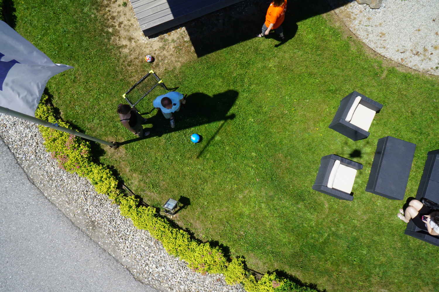
Sample clean and annotated image:

Additional data for the Semantic Drone Dataset:

Download

To download the dataset you ought to fill out the following google form.

Model

No associated model has been provided.

Benchmarks

No benchmarks have been provided.

Associated Challenges

No assiciated challenges have been found in regard to this dataset.

Licence

The dataset is licenced under a non-commercial licence. More details can be found on the offical webpage.